 DIOSCURIA
Current Status
Where is the vessel?
DIOSCURIA is currently in 27 nm SE of Sveti Nikola, based on AIS data received about 14h ago.
Latest AIS update:
Current position: 43.25912° N, 29.05364° E (27 nm SE of Sveti Nikola)
Average speed (last 7 days): Loading…
Average speed (last 30 days): Loading…
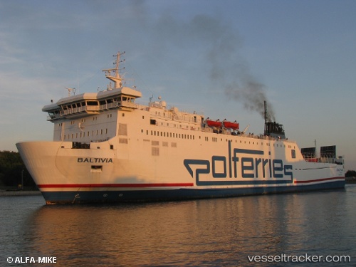
Vessel profile: DIOSCURIA is a Ro-Ro/Passenger Ship with dimensions m x m.
This page combines live AIS, route history, probable destination signals, nearby traffic, and port activity for practical vessel monitoring.
The current position of vessel DIOSCURIA is 43.25912 lat / 29.05364 lng. Updated: 2026-05-24 09:47:06 UTCNearest reference points:
- Near Shabla
- 54 nm SE of Sveti Nikola
- 20 nm SE of Varna
Details:
Live Vessel DIOSCURIA Analytics (details, animations, etc.)
Recent AIS points (UTC):
2026-05-24 05:56:20 UTC · 42.69196, 29.10222 · SOG 11.8 kn · COG 356°2026-05-24 06:55:00 UTC · 42.84640, 29.08652 · SOG 9 kn · COG 0°
2026-05-24 07:57:09 UTC · 42.99661, 29.07561 · SOG 8.5 kn · COG 0°
2026-05-24 09:47:06 UTC · 43.25912, 29.05364 · SOG 8.6 kn · COG -1°