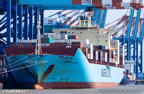
 MAERSK LETICIA
Current Status
Where is the vessel?
MAERSK LETICIA is currently in 15 nm NE of Magdalena, based on AIS data received about 14h ago.
Latest AIS update:
Current position: 34.86088° S, 57.37206° W (15 nm NE of Magdalena)
Average speed (last 7 days): Loading…
Average speed (last 30 days): Loading…
Vessel profile: MAERSK LETICIA is a Container Ship with dimensions m x m.
This page combines live AIS, route history, probable destination signals, nearby traffic, and port activity for practical vessel monitoring.
The current position of vessel MAERSK LETICIA is -34.86088 lat / -57.37206 lng. Updated: 2026-05-24 09:50:16 UTCNearest reference points:
- Near JUAN LACAZE
- Near Dock Sur
- Near Avellaneda
Currently sailing under the flag of Denmark ![]()
Details:
Live Vessel MAERSK LETICIA Analytics (details, animations, etc.)
Recent AIS points (UTC):
2026-05-24 05:29:04 UTC · -34.85950, -57.36693 · SOG 0.5 kn · COG 237°2026-05-24 07:32:04 UTC · -34.86124, -57.36675 · SOG 0.1 kn · COG 333°
2026-05-24 08:26:04 UTC · -34.86178, -57.36726 · SOG 0.1 kn · COG 349°
2026-05-24 09:50:16 UTC · -34.86088, -57.37206 · SOG 0.1 kn · COG -1°