 MAERSK ADRIATIC
Current Status
Where is the vessel?
MAERSK ADRIATIC is currently in 83 nm W of Cap Skiring, based on AIS data received about 15h ago.
Latest AIS update:
Current position: 12.64351° N, 18.13829° W (83 nm W of Cap Skiring)
Average speed (last 7 days): Loading…
Average speed (last 30 days): Loading…
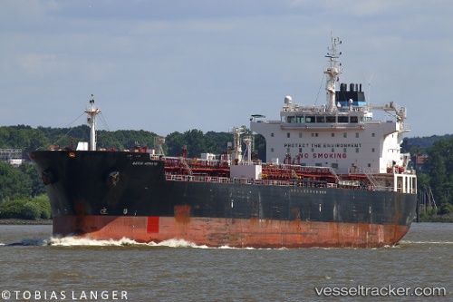
Vessel profile: MAERSK ADRIATIC is a Oil/Chemical Tanker with dimensions m x m.
This page combines live AIS, route history, probable destination signals, nearby traffic, and port activity for practical vessel monitoring.
The current position of vessel MAERSK ADRIATIC is 12.64351 lat / -18.13829 lng. Updated: 2026-05-23 09:47:24 UTCNearest reference points:
- 48 nm W of Cap Skiring
- Near Banjul
- Near San Francisco Libre
Currently sailing under the flag of Denmark ![]()
Details:
Live Vessel MAERSK ADRIATIC Analytics (details, animations, etc.)
Recent AIS points (UTC):
2026-05-23 05:33:51 UTC · 11.91167, -18.00333 · SOG 10 kn · COG -1°2026-05-23 07:52:05 UTC · 12.31835, -18.03899 · SOG 10.5 kn · COG 340°
2026-05-23 08:00:34 UTC · 12.34211, -18.04669 · SOG 10.5 kn · COG 340°
2026-05-23 09:47:24 UTC · 12.64351, -18.13829 · SOG 10.7 kn · COG 341°