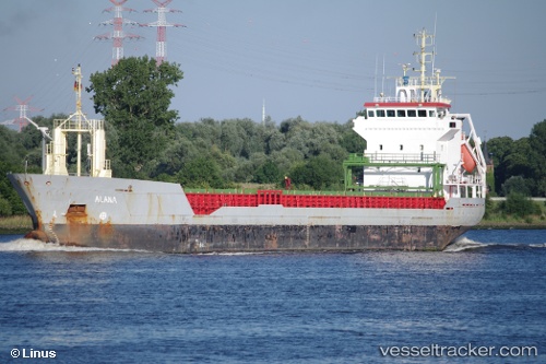
 Kamelia
Current Status
Where is the vessel?
Kamelia is currently in Near Hull, based on AIS data received about 14h ago.
Latest AIS update:
Current position: 53.73357° N, 0.35041° W (Near Hull)
Average speed (last 7 days): Loading…
Average speed (last 30 days): Loading…
Vessel profile: Kamelia is a Multi Purpose Carrier with dimensions 95m x 96m.
This page combines live AIS, route history, probable destination signals, nearby traffic, and port activity for practical vessel monitoring.
The current position of vessel Kamelia is 53.73357 lat / -0.35041 lng. Updated: 2026-05-24 07:43:39 UTCNearest reference points:
- Near Hull
- Near Hessle/Hull
- Near Immingham
Currently sailing under the flag of Malta ![]()
Kamelia built in 1999 year
Deadweight:
5049 tDetails:
Live Vessel Kamelia Analytics (details, animations, etc.)
Recent AIS points (UTC):
2026-05-24 05:13:36 UTC · 53.73359, -0.35039 · SOG 0 kn · COG 245°2026-05-24 05:34:38 UTC · 53.73359, -0.35041 · SOG 0 kn · COG 245°
2026-05-24 07:35:42 UTC · 53.73357, -0.35043 · SOG 0 kn · COG 245°
2026-05-24 07:43:39 UTC · 53.73357, -0.35041 · SOG 0 kn · COG 245°