 EMILIE
Current Status
Where is the vessel?
EMILIE is currently in 13 nm NW of Pavilosta, based on AIS data received about 15h ago.
Latest AIS update:
Current position: 57.02297° N, 20.88494° E (13 nm NW of Pavilosta)
Average speed (last 7 days): Loading…
Average speed (last 30 days): Loading…
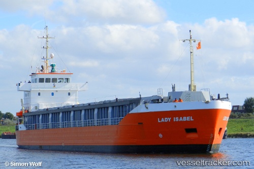
Vessel profile: EMILIE is a General Cargo with dimensions m x m.
This page combines live AIS, route history, probable destination signals, nearby traffic, and port activity for practical vessel monitoring.
The current position of vessel EMILIE is 57.02297 lat / 20.88494 lng. Updated: 2026-05-23 11:41:32 UTCNearest reference points:
- Near Cimdenieki
- Near Ventspils
- 11 nm N of Ventspils
Currently sailing under the flag of Finland ![]()
Details:
Live Vessel EMILIE Analytics (details, animations, etc.)
Recent AIS points (UTC):
2026-05-23 07:45:31 UTC · 56.29125, 20.79449 · SOG 11.1 kn · COG 359°2026-05-23 09:33:21 UTC · 56.62469, 20.82980 · SOG 11.1 kn · COG 3°
2026-05-23 10:14:11 UTC · 56.75177, 20.84748 · SOG 11.2 kn · COG 3°
2026-05-23 11:41:32 UTC · 57.02297, 20.88494 · SOG 11.1 kn · COG 3°