 SNAEFELL RIVER
Current Status
Where is the vessel?
SNAEFELL RIVER is currently in Near Ramsey, based on AIS data received about 15h ago.
Latest AIS update:
Current position: 54.32272° N, 4.37984° W (Near Ramsey)
Average speed (last 7 days): Loading…
Average speed (last 30 days): Loading…
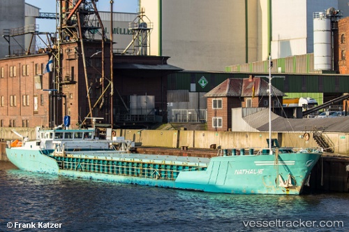
Vessel profile: SNAEFELL RIVER is a General Cargo with dimensions m x m.
This page combines live AIS, route history, probable destination signals, nearby traffic, and port activity for practical vessel monitoring.
The current position of vessel SNAEFELL RIVER is 54.32272 lat / -4.37984 lng. Updated: 2026-05-23 11:35:45 UTCNearest reference points:
- Near Douglas
- Near Holyhead
- Near Girvan
Currently sailing under the flag of United Kingdom ![]()
Details:
Live Vessel SNAEFELL RIVER Analytics (details, animations, etc.)
Recent AIS points (UTC):
2026-05-23 07:56:36 UTC · 54.32266, -4.37983 · SOG 0 kn · COG 4°2026-05-23 09:44:44 UTC · 54.32270, -4.37986 · SOG 0 kn · COG 4°
2026-05-23 11:14:39 UTC · 54.32266, -4.37988 · SOG 0 kn · COG 4°
2026-05-23 11:35:45 UTC · 54.32272, -4.37984 · SOG 0 kn · COG 4°