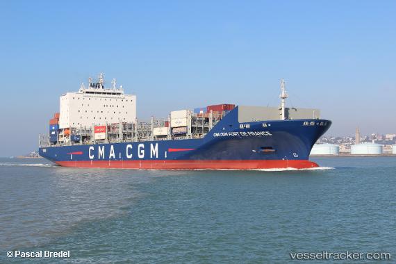
 CMA CGM FORTDEFRANCE
Current Status
Where is the vessel?
CMA CGM FORTDEFRANCE is currently in 106 nm N of Sinnamary, based on AIS data received about 14h ago.
Latest AIS update:
Current position: 7.14407° N, 52.75148° W (106 nm N of Sinnamary)
Average speed (last 7 days): Loading…
Average speed (last 30 days): Loading…
Vessel profile: CMA CGM FORTDEFRANCE is a Cargo A with dimensions m x m.
This page combines live AIS, route history, probable destination signals, nearby traffic, and port activity for practical vessel monitoring.
The current position of vessel CMA CGM FORTDEFRANCE is 7.14407 lat / -52.75148 lng. Updated: 2026-05-23 12:25:47 UTCNearest reference points:
- Near Paramaribo Zorg en Hoop Airport
Currently sailing under the flag of Malta ![]()
Details:
Live Vessel CMA CGM FORTDEFRANCE Analytics (details, animations, etc.)
Recent AIS points (UTC):
2026-05-23 07:40:33 UTC · 7.73660, -53.73255 · SOG 14.1 kn · COG 120°2026-05-23 09:55:47 UTC · 7.45256, -53.27139 · SOG 13.9 kn · COG 117°
2026-05-23 10:15:51 UTC · 7.41141, -53.20326 · SOG 14 kn · COG 116°
2026-05-23 12:25:47 UTC · 7.14407, -52.75148 · SOG 14 kn · COG 119°