 PINE MEADOW
Current Status
Where is the vessel?
PINE MEADOW is currently in Near Port Arthur, based on AIS data received about 14h ago.
Latest AIS update:
Current position: 29.83408° N, 93.96709° W (Near Port Arthur)
Average speed (last 7 days): Loading…
Average speed (last 30 days): Loading…
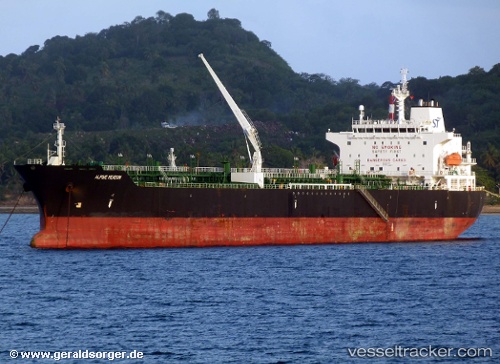
Vessel profile: PINE MEADOW is a Oil/Chemical Tanker with dimensions m x m.
This page combines live AIS, route history, probable destination signals, nearby traffic, and port activity for practical vessel monitoring.
The current position of vessel PINE MEADOW is 29.83408 lat / -93.96709 lng. Updated: 2026-05-24 03:50:06 UTCNearest reference points:
- Near SABINE PASS
- 10 nm W of Sabine Pass
- Near Atreco
Currently sailing under the flag of Portugal ![]()
Details:
Live Vessel PINE MEADOW Analytics (details, animations, etc.)
Recent AIS points (UTC):
2026-05-23 23:56:07 UTC · 29.83409, -93.96709 · SOG 0 kn · COG 124°2026-05-24 01:32:03 UTC · 29.83410, -93.96712 · SOG 0 kn · COG 124°
2026-05-24 02:32:06 UTC · 29.83407, -93.96708 · SOG 0 kn · COG 125°
2026-05-24 03:50:06 UTC · 29.83408, -93.96709 · SOG 0 kn · COG 124°