 ATLANTIC ADAM
Current Status
Where is the vessel?
ATLANTIC ADAM is currently in Near RUMELI FENERI, based on AIS data received about 14h ago.
Latest AIS update:
Current position: 41.36700° N, 29.16856° E (Near RUMELI FENERI)
Average speed (last 7 days): Loading…
Average speed (last 30 days): Loading…
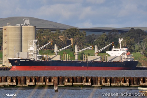
Vessel profile: ATLANTIC ADAM is a Bulk Carrier with dimensions m x m.
This page combines live AIS, route history, probable destination signals, nearby traffic, and port activity for practical vessel monitoring.
The current position of vessel ATLANTIC ADAM is 41.36700 lat / 29.16856 lng. Updated: 2026-05-23 19:51:31 UTCNearest reference points:
- Near RUMELI FENERI
- 19 nm NE of RUMELI FENERI
- Near Istinye/Istambul
Currently sailing under the flag of San Marino ![]()
Details:
Live Vessel ATLANTIC ADAM Analytics (details, animations, etc.)
Recent AIS points (UTC):
2026-05-23 16:15:43 UTC · 41.37735, 29.14238 · SOG 0.3 kn · COG 259°2026-05-23 18:22:22 UTC · 41.36978, 29.15589 · SOG 0.3 kn · COG 250°
2026-05-23 19:48:22 UTC · 41.36706, 29.16809 · SOG 0.4 kn · COG 227°
2026-05-23 19:51:31 UTC · 41.36700, 29.16856 · SOG 0.3 kn · COG 226°