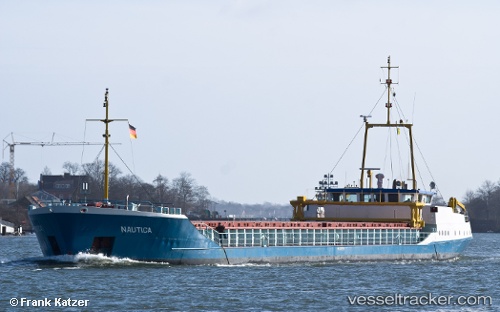
 NAUTICA
Current Status
Where is the vessel?
NAUTICA is currently in Near Durres, based on AIS data received about 15h ago.
Latest AIS update:
Current position: 41.30656° N, 19.45037° E (Near Durres)
Average speed (last 7 days): Loading…
Average speed (last 30 days): Loading…
Vessel profile: NAUTICA is a General Cargo with dimensions m x m.
This page combines live AIS, route history, probable destination signals, nearby traffic, and port activity for practical vessel monitoring.
The current position of vessel NAUTICA is 41.30656 lat / 19.45037 lng. Updated: 2026-05-23 10:20:27 UTCNearest reference points:
- Near Durres
- 22 nm W of Fier
- Near TIVAT
Currently sailing under the flag of San Marino ![]()
Details:
Live Vessel NAUTICA Analytics (details, animations, etc.)
Recent AIS points (UTC):
2026-05-23 07:35:28 UTC · 41.30657, 19.45037 · SOG 0 kn · COG 320°2026-05-23 07:56:29 UTC · 41.30658, 19.45037 · SOG 0 kn · COG 320°
2026-05-23 10:20:27 UTC · 41.30656, 19.45037 · SOG 0 kn · COG 320°
2026-05-23 10:20:27 UTC · 41.30656, 19.45037 · SOG 0 kn · COG 320°