 KAMDHENU
Current Status
Where is the vessel?
KAMDHENU is currently in 67 nm SW of Poty, based on AIS data received about 14h ago.
Latest AIS update:
Current position: 17.63436° N, 74.98799° W (67 nm SW of Poty)
Average speed (last 7 days): Loading…
Average speed (last 30 days): Loading…
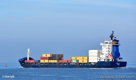
Vessel profile: KAMDHENU is a General Cargo with dimensions m x m.
This page combines live AIS, route history, probable destination signals, nearby traffic, and port activity for practical vessel monitoring.
The current position of vessel KAMDHENU is 17.63436 lat / -74.98799 lng. Updated: 2026-05-23 22:16:25 UTCNearest reference points:
- 16 nm SE of Ceiba Hueca
Currently sailing under the flag of Antigua and Barbuda ![]()
Details:
Live Vessel KAMDHENU Analytics (details, animations, etc.)
Recent AIS points (UTC):
2026-05-23 19:27:47 UTC · 17.65750, -75.29544 · SOG 7 kn · COG 95°2026-05-23 21:33:25 UTC · 17.63918, -75.05107 · SOG 4.9 kn · COG 97°
2026-05-23 22:16:25 UTC · 17.63436, -74.98799 · SOG 4.9 kn · COG 96°
2026-05-23 22:16:25 UTC · 17.63436, -74.98799 · SOG 4.9 kn · COG 96°