 Tinos
Tinos
Current Status
Where is the vessel?
Tinos is currently in 171 nm NE of Ilha do Sal, based on AIS data received about 14h ago.
Latest AIS update:
Current position: 18.66506° N, 20.69937° W (171 nm NE of Ilha do Sal)
Average speed (last 7 days): Loading…
Average speed (last 30 days): Loading…
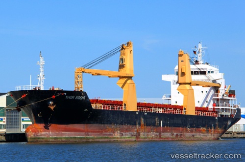
Vessel profile: Tinos is a Multi Purpose Carrier with dimensions 116m x 18m.
This page combines live AIS, route history, probable destination signals, nearby traffic, and port activity for practical vessel monitoring.
The current position of vessel Tinos is 18.66506 lat / -20.69937 lng. Updated: 2026-05-23 11:52:14 UTCNearest reference points:
- 176 nm NE of Ilha do Sal
- Near Ilha do Sal
Currently sailing under the flag of Antigua Barbuda ![]()
Tinos built in 2007 year
Deadweight:
8280 tDetails:
Live Vessel Tinos Analytics (details, animations, etc.)
Recent AIS points (UTC):
2026-05-23 07:16:03 UTC · 18.20114, -21.01733 · SOG 7.3 kn · COG 31°2026-05-23 10:03:07 UTC · 18.48018, -20.82991 · SOG 6.8 kn · COG 32°
2026-05-23 10:26:17 UTC · 18.52092, -20.80131 · SOG 7 kn · COG 33°
2026-05-23 11:52:14 UTC · 18.66506, -20.69937 · SOG 7.2 kn · COG 32°