 SANTA BARBARA
Current Status
Where is the vessel?
SANTA BARBARA is currently in 47 nm E of Punta de Maisi, based on AIS data received about 14h ago.
Latest AIS update:
Current position: 20.07866° N, 73.34055° W (47 nm E of Punta de Maisi)
Average speed (last 7 days): Loading…
Average speed (last 30 days): Loading…
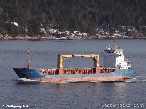
Vessel profile: SANTA BARBARA is a General Cargo with dimensions m x m.
This page combines live AIS, route history, probable destination signals, nearby traffic, and port activity for practical vessel monitoring.
The current position of vessel SANTA BARBARA is 20.07866 lat / -73.34055 lng. Updated: 2026-05-24 01:49:54 UTCNearest reference points:
- 56 nm SW of Cockburn Harbour
- 47 nm SW of Cockburn Harbour
- 38 nm SW of Cockburn Harbour
Currently sailing under the flag of Barbados ![]()
Details:
Live Vessel SANTA BARBARA Analytics (details, animations, etc.)
Recent AIS points (UTC):
2026-05-23 21:59:38 UTC · 19.70017, -73.73167 · SOG 9.1 kn · COG 46°2026-05-23 23:08:29 UTC · 19.81310, -73.60811 · SOG 8.4 kn · COG 46°
2026-05-24 01:49:54 UTC · 20.07866, -73.34055 · SOG 7.7 kn · COG 39°
2026-05-24 01:49:54 UTC · 20.07866, -73.34055 · SOG 7.7 kn · COG 39°