 PRETTY AYA
Current Status
Where is the vessel?
PRETTY AYA is currently in Near Drvenik, based on AIS data received about 14h ago.
Latest AIS update:
Current position: 43.11675° N, 16.31066° E (Near Drvenik)
Average speed (last 7 days): Loading…
Average speed (last 30 days): Loading…
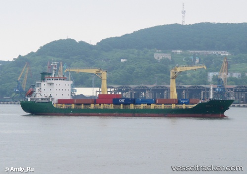
Vessel profile: PRETTY AYA is a Cargo with dimensions m x m.
This page combines live AIS, route history, probable destination signals, nearby traffic, and port activity for practical vessel monitoring.
The current position of vessel PRETTY AYA is 43.11675 lat / 16.31066 lng. Updated: 2026-05-23 20:18:24 UTCNearest reference points:
- Near Rogac
- Near Split
- Near Stobrec
Currently sailing under the flag of Barbados ![]()
Details:
Live Vessel PRETTY AYA Analytics (details, animations, etc.)
Recent AIS points (UTC):
2026-05-23 16:01:45 UTC · 43.05404, 17.18971 · SOG 8.8 kn · COG 280°2026-05-23 17:44:55 UTC · 43.06131, 16.83553 · SOG 9.3 kn · COG 268°
2026-05-23 20:01:14 UTC · 43.10183, 16.36837 · SOG 9.3 kn · COG 290°
2026-05-23 20:18:24 UTC · 43.11675, 16.31066 · SOG 9.3 kn · COG 291°