 GREENWAY
Current Status
Where is the vessel?
GREENWAY is currently in 95 nm S of SHUAIBAH, based on AIS data received about 14h ago.
Latest AIS update:
Current position: 19.11514° N, 39.13097° E (95 nm S of SHUAIBAH)
Average speed (last 7 days): Loading…
Average speed (last 30 days): Loading…
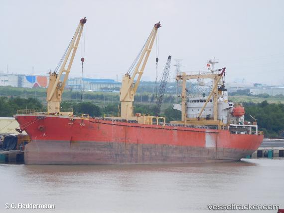
Vessel profile: GREENWAY is a General Cargo with dimensions m x m.
This page combines live AIS, route history, probable destination signals, nearby traffic, and port activity for practical vessel monitoring.
The current position of vessel GREENWAY is 19.11514 lat / 39.13097 lng. Updated: 2026-05-24 05:55:26 UTCNearest reference points:
- 99 nm SW of Al Qunfudah
- 53 nm SW of SHUAIBAH
- Near Port Sudan
Currently sailing under the flag of Saint Kitts and Nevis ![]()
Details:
Live Vessel GREENWAY Analytics (details, animations, etc.)
Recent AIS points (UTC):
2026-05-24 02:19:50 UTC · 19.25317, 39.11360 · SOG 4 kn · COG 217°2026-05-24 04:17:02 UTC · 19.17176, 39.11958 · SOG 1.9 kn · COG 200°
2026-05-24 04:31:04 UTC · 19.16343, 39.12125 · SOG 2.2 kn · COG 201°
2026-05-24 05:55:26 UTC · 19.11514, 39.13097 · SOG 1.5 kn · COG 197°