 HENG TAI
Current Status
Where is the vessel?
HENG TAI is currently in Near Dover, based on AIS data received about 47d ago.
Latest AIS update:
Current position: 51.01642° N, 1.36166° E (Near Dover)
Average speed (last 7 days): Loading…
Average speed (last 30 days): Loading…
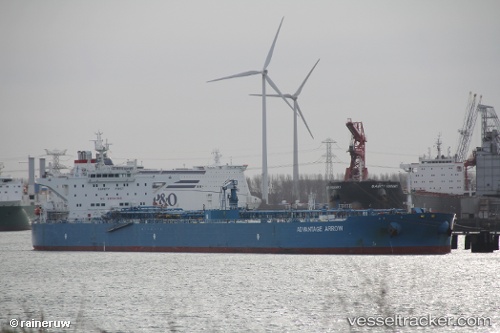
Vessel profile: HENG TAI is a Crude Oil Tanker with dimensions 250m x 44m.
This page combines live AIS, route history, probable destination signals, nearby traffic, and port activity for practical vessel monitoring.
The current position of vessel HENG TAI is 51.01642 lat / 1.36166 lng. Updated: 2026-04-07 03:09:50 UTCNearest reference points:
- Near Dover
- Near Folkestone
- Near Le Portel
Currently sailing under the flag of Panama ![]()
HENG TAI built in 2009 year
Deadweight:
115804 tDetails:
Live Vessel HENG TAI Analytics (details, animations, etc.)
Recent AIS points (UTC):
2026-04-06 21:44:11 UTC · 51.75579, 2.40033 · SOG 12.4 kn · COG 223°2026-04-06 21:44:11 UTC · 51.75579, 2.40033 · SOG 12.4 kn · COG 223°
2026-04-06 21:44:11 UTC · 51.75579, 2.40033 · SOG 12.4 kn · COG 223°
2026-04-07 03:09:50 UTC · 51.01642, 1.36166 · SOG 8.5 kn · COG 228°
2026-04-07 03:09:50 UTC · 51.01642, 1.36166 · SOG 8.5 kn · COG 228°
2026-04-07 03:09:50 UTC · 51.01642, 1.36166 · SOG 8.5 kn · COG 228°