 OEL SURYA
Current Status
Where is the vessel?
OEL SURYA is currently in 111 nm NW of Saint Louis, based on AIS data received about 15h ago.
Latest AIS update:
Current position: 16.90696° N, 18.20163° W (111 nm NW of Saint Louis)
Average speed (last 7 days): Loading…
Average speed (last 30 days): Loading…
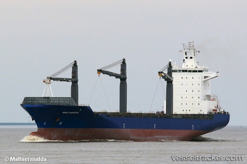
Vessel profile: OEL SURYA is a Container Ship with dimensions m x m.
This page combines live AIS, route history, probable destination signals, nearby traffic, and port activity for practical vessel monitoring.
The current position of vessel OEL SURYA is 16.90696 lat / -18.20163 lng. Updated: 2026-05-24 07:43:17 UTCNearest reference points:
- 100 nm NW of Saint Louis
- 119 nm W of Nouakchott
- 90 nm W of Nouakchott
Currently sailing under the flag of Panama ![]()
Details:
Live Vessel OEL SURYA Analytics (details, animations, etc.)
Recent AIS points (UTC):
2026-05-24 05:13:05 UTC · 17.63480, -18.18979 · SOG 17.4 kn · COG 183°2026-05-24 05:38:47 UTC · 17.51073, -18.19267 · SOG 17.4 kn · COG 181°
2026-05-24 07:38:41 UTC · 16.92931, -18.20137 · SOG 17.4 kn · COG 183°
2026-05-24 07:43:17 UTC · 16.90696, -18.20163 · SOG 17.4 kn · COG 182°