 EKATERINA
Current Status
Where is the vessel?
EKATERINA is currently in 38 nm SE of Guarujá, based on AIS data received about 14h ago.
Latest AIS update:
Current position: 24.44427° S, 45.74389° W (38 nm SE of Guarujá)
Average speed (last 7 days): Loading…
Average speed (last 30 days): Loading…
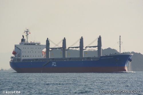
Vessel profile: EKATERINA is a Bulk Carrier with dimensions m x m.
This page combines live AIS, route history, probable destination signals, nearby traffic, and port activity for practical vessel monitoring.
The current position of vessel EKATERINA is -24.44427 lat / -45.74389 lng. Updated: 2026-05-23 09:44:16 UTCNearest reference points:
- 30 nm SE of Guarujá
- 56 nm S of Sao Sebastiao
- Near Barrosso Terminal
Currently sailing under the flag of Panama ![]()
Details:
Live Vessel EKATERINA Analytics (details, animations, etc.)
Recent AIS points (UTC):
2026-05-23 05:51:35 UTC · -24.44333, -45.74333 · SOG 0 kn · COG -1°2026-05-23 07:12:42 UTC · -24.44333, -45.74333 · SOG 1 kn · COG -1°
2026-05-23 08:06:38 UTC · -24.44333, -45.74333 · SOG 0 kn · COG -1°
2026-05-23 09:44:16 UTC · -24.44427, -45.74389 · SOG 0.9 kn · COG 108°