 INANDI
Current Status
Where is the vessel?
INANDI is currently in Near Marmara Adasi, based on AIS data received about 14h ago.
Latest AIS update:
Current position: 40.69118° N, 27.40992° E (Near Marmara Adasi)
Average speed (last 7 days): Loading…
Average speed (last 30 days): Loading…
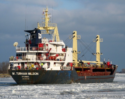
Vessel profile: INANDI is a General Cargo Ship with dimensions 83m x 14m.
This page combines live AIS, route history, probable destination signals, nearby traffic, and port activity for practical vessel monitoring.
The current position of vessel INANDI is 40.69118 lat / 27.40992 lng. Updated: 2026-05-24 00:07:31 UTCNearest reference points:
- Near Saraylar
- Near Sarköy
- Near Marmara Adasi
Currently sailing under the flag of Panama ![]()
INANDI built in 1984 year
Deadweight:
3465 tDetails:
Live Vessel INANDI Analytics (details, animations, etc.)
Recent AIS points (UTC):
2026-05-23 19:51:31 UTC · 40.85263, 28.23767 · SOG 9 kn · COG 261°2026-05-23 21:59:12 UTC · 40.80693, 27.82048 · SOG 9.2 kn · COG 264°
2026-05-23 22:46:03 UTC · 40.78718, 27.66435 · SOG 10.8 kn · COG 263°
2026-05-24 00:07:31 UTC · 40.69118, 27.40992 · SOG 9.8 kn · COG 242°