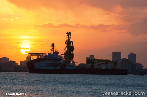
 SAPURA TOPAZIO
Current Status
Where is the vessel?
SAPURA TOPAZIO is currently in 66 nm S of Santos Dumont Apt/Rio de Janeiro, based on AIS data received about 15h ago.
Latest AIS update:
Current position: 23.94546° S, 42.73768° W (66 nm S of Santos Dumont Apt/Rio de Janeiro)
Average speed (last 7 days): Loading…
Average speed (last 30 days): Loading…
Vessel profile: SAPURA TOPAZIO is a Pipe Layer with dimensions m x m.
This page combines live AIS, route history, probable destination signals, nearby traffic, and port activity for practical vessel monitoring.
The current position of vessel SAPURA TOPAZIO is -23.94546 lat / -42.73768 lng. Updated: 2026-05-24 03:23:34 UTCNearest reference points:
- 69 nm NE of Cidade de Angra dos Reis FPSO
- 27 nm SW of Santos Dumont Apt/Rio de Janeiro
- 49 nm S of SEPETIBA
Currently sailing under the flag of Panama ![]()
Details:
Live Vessel SAPURA TOPAZIO Analytics (details, animations, etc.)
Recent AIS points (UTC):
2026-05-24 01:36:31 UTC · -23.64945, -42.83957 · SOG 10.5 kn · COG 159°2026-05-24 02:23:01 UTC · -23.77930, -42.79505 · SOG 10.7 kn · COG 160°
2026-05-24 03:23:34 UTC · -23.94546, -42.73768 · SOG 10.6 kn · COG 164°
2026-05-24 03:23:34 UTC · -23.94546, -42.73768 · SOG 10.6 kn · COG 164°