 TURQUOISE COAST
Current Status
Where is the vessel?
TURQUOISE COAST is currently in 15 nm NW of Florida Straits, based on AIS data received about 14h ago.
Latest AIS update:
Current position: 24.60598° N, 83.19131° W (15 nm NW of Florida Straits)
Average speed (last 7 days): Loading…
Average speed (last 30 days): Loading…
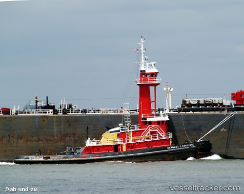
Vessel profile: TURQUOISE COAST is a Tug with dimensions m x m.
This page combines live AIS, route history, probable destination signals, nearby traffic, and port activity for practical vessel monitoring.
The current position of vessel TURQUOISE COAST is 24.60598 lat / -83.19131 lng. Updated: 2026-05-24 09:19:21 UTCNearest reference points:
- 14 nm W of Florida Straits
- 40 nm S of Florida Straits
- Near Key West
Currently sailing under the flag of United States ![]()
Details:
Live Vessel TURQUOISE COAST Analytics (details, animations, etc.)
Recent AIS points (UTC):
2026-05-24 05:58:37 UTC · 24.34500, -82.63167 · SOG 9 kn · COG -1°2026-05-24 07:31:36 UTC · 24.40500, -82.88667 · SOG 10 kn · COG -1°
2026-05-24 07:55:40 UTC · 24.44333, -82.95333 · SOG 11 kn · COG -1°
2026-05-24 09:19:21 UTC · 24.60598, -83.19131 · SOG 11.7 kn · COG -1°