 Yamato
Current Status
Where is the vessel?
Yamato is currently in Near Oita, based on AIS data received about 14h ago.
Latest AIS update:
Current position: 33.25167° N, 131.75667° E (Near Oita)
Average speed (last 7 days): Loading…
Average speed (last 30 days): Loading…
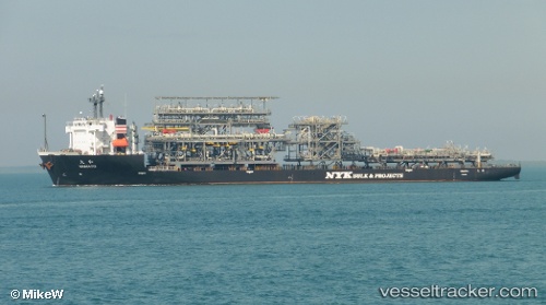
Vessel profile: Yamato is a Heavy Load Carrier with dimensions 162m x 38m.
This page combines live AIS, route history, probable destination signals, nearby traffic, and port activity for practical vessel monitoring.
The current position of vessel Yamato is 33.25167 lat / 131.75667 lng. Updated: 2026-05-24 01:14:46 UTCNearest reference points:
- Near Kitsuki
- Near Oita
- 11 nm E of SAEKI
Currently sailing under the flag of Panama ![]()
Yamato built in 2010 year
Deadweight:
19812 tDetails:
Live Vessel Yamato Analytics (details, animations, etc.)
Recent AIS points (UTC):
2026-05-23 21:38:50 UTC · 33.25167, 131.75667 · SOG 0 kn · COG -1°2026-05-23 22:59:47 UTC · 33.25167, 131.75667 · SOG 0 kn · COG -1°
2026-05-23 23:56:55 UTC · 33.25167, 131.75667 · SOG 0 kn · COG -1°
2026-05-24 01:14:46 UTC · 33.25167, 131.75667 · SOG 0 kn · COG -1°