 GP OCEAN
Current Status
Where is the vessel?
GP OCEAN is currently in 26 nm NE of Bandar Al Mishab, based on AIS data received about 22h ago.
Latest AIS update:
Current position: 28.37860° N, 49.13001° E (26 nm NE of Bandar Al Mishab)
Average speed (last 7 days): Loading…
Average speed (last 30 days): Loading…
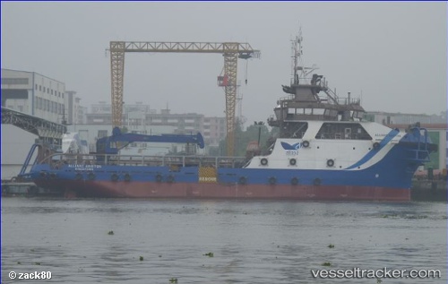
Vessel profile: GP OCEAN is a Offshore Supply Ship with dimensions m x m.
This page combines live AIS, route history, probable destination signals, nearby traffic, and port activity for practical vessel monitoring.
The current position of vessel GP OCEAN is 28.37860 lat / 49.13001 lng. Updated: 2026-05-23 04:32:35 UTCNearest reference points:
- 26 nm E of Bandar Al Mishab
- 29 nm E of Bandar Al Mishab
- 31 nm S of Soroosh (Cyrus) Terminal
Currently sailing under the flag of Saint Vincent and the Grenadines ![]()
Details:
Live Vessel GP OCEAN Analytics (details, animations, etc.)
Recent AIS points (UTC):
2026-05-23 04:32:35 UTC · 28.37860, 49.13001 · SOG 3.5 kn · COG 299°2026-05-23 04:32:35 UTC · 28.37860, 49.13001 · SOG 3.5 kn · COG 299°
2026-05-23 04:32:35 UTC · 28.37860, 49.13001 · SOG 3.5 kn · COG 299°
2026-05-23 04:32:35 UTC · 28.37860, 49.13001 · SOG 3.5 kn · COG 299°