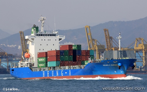
 HEUNG A SARAH
Current Status
Where is the vessel?
HEUNG A SARAH is currently in Near South Busan, based on AIS data received about 14h ago.
Latest AIS update:
Current position: 35.00778° N, 129.25325° E (Near South Busan)
Average speed (last 7 days): Loading…
Average speed (last 30 days): Loading…
Vessel profile: HEUNG A SARAH is a Cargo with dimensions m x m.
This page combines live AIS, route history, probable destination signals, nearby traffic, and port activity for practical vessel monitoring.
The current position of vessel HEUNG A SARAH is 35.00778 lat / 129.25325 lng. Updated: 2026-05-23 23:59:25 UTCNearest reference points:
- Near Busan
- Near Gijang-gun/Busan
- Near Gamcheon/Busan
Currently sailing under the flag of South Korea ![]()
Details:
Live Vessel HEUNG A SARAH Analytics (details, animations, etc.)
Recent AIS points (UTC):
2026-05-23 19:48:43 UTC · 34.99685, 129.20898 · SOG 1 kn · COG 136°2026-05-23 21:39:54 UTC · 34.97726, 129.24300 · SOG 4.1 kn · COG 54°
2026-05-23 23:02:55 UTC · 34.99462, 129.25494 · SOG 0.7 kn · COG 318°
2026-05-23 23:59:25 UTC · 35.00778, 129.25325 · SOG 0.7 kn · COG 320°