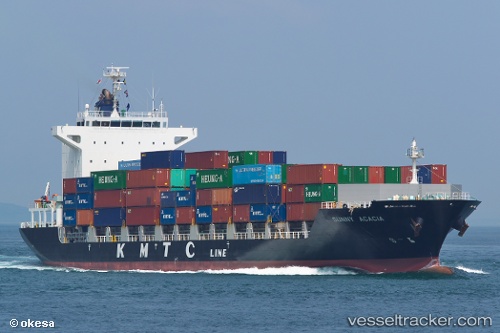
 SUNNY ACACIA
Current Status
Where is the vessel?
SUNNY ACACIA is currently in Near Damaiyu, based on AIS data received about 15h ago.
Latest AIS update:
Current position: 25.23123° N, 119.71569° E (Near Damaiyu)
Average speed (last 7 days): Loading…
Average speed (last 30 days): Loading…
Vessel profile: SUNNY ACACIA is a Cargo with dimensions m x m.
This page combines live AIS, route history, probable destination signals, nearby traffic, and port activity for practical vessel monitoring.
The current position of vessel SUNNY ACACIA is 25.23123 lat / 119.71569 lng. Updated: 2026-05-23 13:32:27 UTCNearest reference points:
- Near Damaiyu
- Near Jinjing
- 10 nm N of Xiaocuo Pt
Currently sailing under the flag of South Korea ![]()
Details:
Live Vessel SUNNY ACACIA Analytics (details, animations, etc.)
Recent AIS points (UTC):
2026-05-23 10:25:36 UTC · 24.70850, 119.20549 · SOG 14.4 kn · COG 47°2026-05-23 12:16:37 UTC · 24.99894, 119.57574 · SOG 13.8 kn · COG 47°
2026-05-23 13:24:29 UTC · 25.20589, 119.72449 · SOG 12.7 kn · COG 347°
2026-05-23 13:32:27 UTC · 25.23123, 119.71569 · SOG 11.9 kn · COG 325°