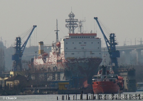
 KHODR BEY
Current Status
Where is the vessel?
KHODR BEY is currently in 31 nm SE of TASUCU, based on AIS data received about 14h ago.
Latest AIS update:
Current position: 35.94102° N, 34.32295° E (31 nm SE of TASUCU)
Average speed (last 7 days): Loading…
Average speed (last 30 days): Loading…
Vessel profile: KHODR BEY is a Ro-Ro/Passenger Ship with dimensions m x m.
This page combines live AIS, route history, probable destination signals, nearby traffic, and port activity for practical vessel monitoring.
The current position of vessel KHODR BEY is 35.94102 lat / 34.32295 lng. Updated: 2026-05-23 14:02:09 UTCNearest reference points:
- Near Mersin
- 15 nm SW of Yesilovacik
- Near Mersin-Free Zone
Currently sailing under the flag of Lebanon ![]()
Details:
Live Vessel KHODR BEY Analytics (details, animations, etc.)
Recent AIS points (UTC):
2026-05-23 02:40:23 UTC · 36.31112, 33.89038 · SOG 0 kn · COG 188°2026-05-23 11:38:37 UTC · 36.12751, 33.97038 · SOG 8.2 kn · COG 120°
2026-05-23 13:13:11 UTC · 36.00500, 34.19667 · SOG 8 kn · COG -1°
2026-05-23 14:02:09 UTC · 35.94102, 34.32295 · SOG 9.1 kn · COG 125°