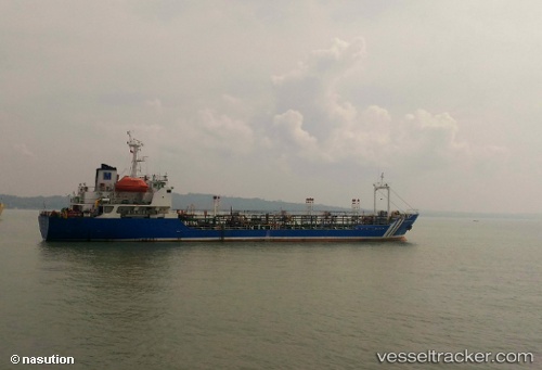
Mt.maxima Pratama
Current StatusWhere is the vessel?
Mt.maxima Pratama is currently in 11 nm E of Dumai, based on AIS data received about 15h ago.
Latest AIS update:
Current position: 1.66136° N, 101.63777° E (11 nm E of Dumai)
Average speed (last 7 days): Loading…
Average speed (last 30 days): Loading…
Vessel profile: Mt.maxima Pratama is a Chemical Tanker with dimensions 15m x 83m.
This page combines live AIS, route history, probable destination signals, nearby traffic, and port activity for practical vessel monitoring.
The current position of vessel Mt.maxima Pratama is 1.66136 lat / 101.63777 lng. Updated: 2026-05-23 23:23:02 UTCNearest reference points:
- Near Dumai
- 14 nm W of SUNGAI UDANG
- 34 nm NW of FUTONG
Details:
Live Vessel Mt.maxima Pratama Analytics (details, animations, etc.)
Recent AIS points (UTC):
2026-05-23 20:07:00 UTC · 1.66135, 101.63778 · SOG 0 kn · COG -1°2026-05-23 21:42:46 UTC · 1.66136, 101.63779 · SOG 0 kn · COG -1°
2026-05-23 22:02:49 UTC · 1.66138, 101.63777 · SOG 0 kn · COG -1°
2026-05-23 23:23:02 UTC · 1.66136, 101.63777 · SOG 0 kn · COG -1°