 SEA BREEZE 23
Current Status
Where is the vessel?
SEA BREEZE 23 is currently in Near Ras Gharib, based on AIS data received about 16d ago.
Latest AIS update:
Current position: 28.32219° N, 33.12109° E (Near Ras Gharib)
Average speed (last 7 days): Loading…
Average speed (last 30 days): Loading…
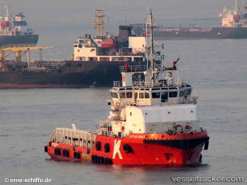
Vessel profile: SEA BREEZE 23 is a Anchor Handling Vessel with dimensions m x m.
This page combines live AIS, route history, probable destination signals, nearby traffic, and port activity for practical vessel monitoring.
The current position of vessel SEA BREEZE 23 is 28.32219 lat / 33.12109 lng. Updated: 2026-05-08 00:21:07 UTCNearest reference points:
- Near Ras Gharib
- 19 nm SE of Zeit Bay
- Near El-Guna (El Gouna)
Currently sailing under the flag of Kiribati ![]()
Details:
Live Vessel SEA BREEZE 23 Analytics (details, animations, etc.)
Recent AIS points (UTC):
2026-05-08 00:21:07 UTC · 28.32219, 33.12109 · SOG 0.3 kn · COG 324°2026-05-08 00:21:07 UTC · 28.32219, 33.12109 · SOG 0.3 kn · COG 324°
2026-05-08 00:21:07 UTC · 28.32219, 33.12109 · SOG 0.3 kn · COG 324°
2026-05-08 00:21:07 UTC · 28.32219, 33.12109 · SOG 0.3 kn · COG 324°