 Androusa
Current Status
Where is the vessel?
Androusa is currently in 217 nm W of Punta Baja, based on AIS data received about 14h ago.
Latest AIS update:
Current position: 28.90698° N, 119.77785° W (217 nm W of Punta Baja)
Average speed (last 7 days): Loading…
Average speed (last 30 days): Loading…
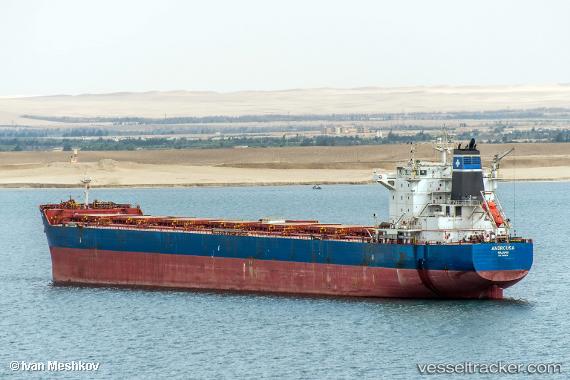
Vessel profile: Androusa is a Bulk Carrier with dimensions 229m x 32m.
This page combines live AIS, route history, probable destination signals, nearby traffic, and port activity for practical vessel monitoring.
The current position of vessel Androusa is 28.90698 lat / -119.77785 lng. Updated: 2026-05-24 01:43:46 UTCCurrently sailing under the flag of Marshall Is ![]()
Androusa built in 2012 year
Deadweight:
81533 tDetails:
Live Vessel Androusa Analytics (details, animations, etc.)
Recent AIS points (UTC):
2026-05-23 21:16:43 UTC · 29.42936, -120.52532 · SOG 11.3 kn · COG 127°2026-05-23 22:03:12 UTC · 29.33699, -120.39443 · SOG 11.3 kn · COG 130°
2026-05-24 00:09:05 UTC · 29.08298, -120.04856 · SOG 11.1 kn · COG 131°
2026-05-24 01:43:46 UTC · 28.90698, -119.77785 · SOG 11.2 kn · COG 127°