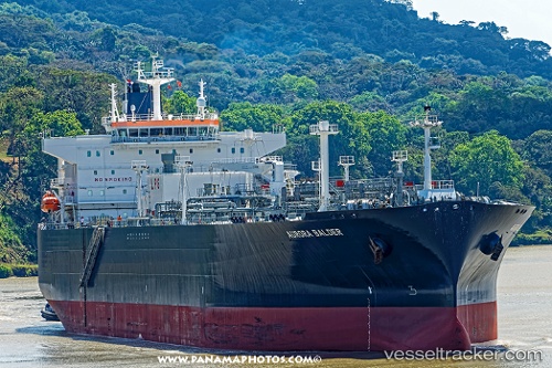
Bw Balder
Current StatusWhere is the vessel?
Bw Balder is currently in 65 nm W of Cape Of Good Hope, based on AIS data received about 14h ago.
Latest AIS update:
Current position: 34.70195° S, 17.12398° E (65 nm W of Cape Of Good Hope)
Average speed (last 7 days): Loading…
Average speed (last 30 days): Loading…
Vessel profile: Bw Balder is a Lpg Tanker with dimensions 37m x 225m.
This page combines live AIS, route history, probable destination signals, nearby traffic, and port activity for practical vessel monitoring.
The current position of vessel Bw Balder is -34.70195 lat / 17.12398 lng. Updated: 2026-05-23 16:02:33 UTCNearest reference points:
- 18 nm SW of Cape Of Good Hope
- 111 nm W of Kommetjie
- 12 nm W of ROBBEN ISLAND
Details:
Live Vessel Bw Balder Analytics (details, animations, etc.)
Recent AIS points (UTC):
2026-05-23 13:17:31 UTC · -34.51163, 16.27328 · SOG 15.6 kn · COG 105°2026-05-23 14:13:23 UTC · -34.57834, 16.56072 · SOG 15.9 kn · COG 107°
2026-05-23 15:54:47 UTC · -34.69314, 17.08358 · SOG 15.8 kn · COG 106°
2026-05-23 16:02:33 UTC · -34.70195, 17.12398 · SOG 15.8 kn · COG 107°