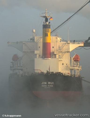
Storm Harbour
Current StatusWhere is the vessel?
Storm Harbour is currently in 31 nm N of Manaure, based on AIS data received about 15h ago.
Latest AIS update:
Current position: 12.26153° N, 72.60028° W (31 nm N of Manaure)
Average speed (last 7 days): Loading…
Average speed (last 30 days): Loading…
Vessel profile: Storm Harbour is a Bulk Carrier with dimensions 32m x 225m.
This page combines live AIS, route history, probable destination signals, nearby traffic, and port activity for practical vessel monitoring.
The current position of vessel Storm Harbour is 12.26153 lat / -72.60028 lng. Updated: 2026-05-24 07:53:05 UTCNearest reference points:
- Near PUERTO BOLIVAR
- 18 nm N of Santa Marta
- Near Santa Marta
Details:
Live Vessel Storm Harbour Analytics (details, animations, etc.)
Recent AIS points (UTC):
2026-05-24 05:07:58 UTC · 12.54602, -72.10077 · SOG 12.7 kn · COG 245°2026-05-24 06:01:45 UTC · 12.45385, -72.26728 · SOG 11.9 kn · COG 239°
2026-05-24 07:34:15 UTC · 12.29318, -72.54278 · SOG 12.3 kn · COG 240°
2026-05-24 07:53:05 UTC · 12.26153, -72.60028 · SOG 12.4 kn · COG 240°