 CAPE
CAPE
Current Status
Where is the vessel?
CAPE is currently in 15 nm SW of Thoppumpady, based on AIS data received about 14h ago.
Latest AIS update:
Current position: 9.81846° N, 76.03153° E (15 nm SW of Thoppumpady)
Average speed (last 7 days): Loading…
Average speed (last 30 days): Loading…
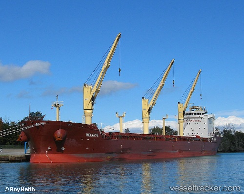
Vessel profile: CAPE is a Bulk Carrier with dimensions m x m.
This page combines live AIS, route history, probable destination signals, nearby traffic, and port activity for practical vessel monitoring.
The current position of vessel CAPE is 9.81846 lat / 76.03153 lng. Updated: 2026-05-24 09:31:53 UTCNearest reference points:
- Near Cochin
- Near Edappally
- 41 nm S of Nagercoil
Currently sailing under the flag of Marshall Islands ![]()
Details:
Live Vessel CAPE Analytics (details, animations, etc.)
Recent AIS points (UTC):
2026-05-24 06:13:53 UTC · 9.81854, 76.03155 · SOG 0.2 kn · COG 311°2026-05-24 07:55:51 UTC · 9.81850, 76.03157 · SOG 0.4 kn · COG 317°
2026-05-24 08:16:51 UTC · 9.81860, 76.03170 · SOG 0.1 kn · COG 315°
2026-05-24 09:31:53 UTC · 9.81846, 76.03153 · SOG 0.4 kn · COG 323°