 MARMOR
Current Status
Where is the vessel?
MARMOR is currently in 319 nm N of Saint George, based on AIS data received about 14h ago.
Latest AIS update:
Current position: 37.69080° N, 64.43714° W (319 nm N of Saint George)
Average speed (last 7 days): Loading…
Average speed (last 30 days): Loading…
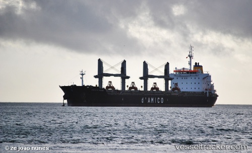
Vessel profile: MARMOR is a Bulk Carrier with dimensions m x m.
This page combines live AIS, route history, probable destination signals, nearby traffic, and port activity for practical vessel monitoring.
The current position of vessel MARMOR is 37.69080 lat / -64.43714 lng. Updated: 2026-05-24 01:25:44 UTCNearest reference points:
- 273 nm SE of NANTUCKET
Currently sailing under the flag of Marshall Islands ![]()
Details:
Live Vessel MARMOR Analytics (details, animations, etc.)
Recent AIS points (UTC):
2026-05-23 21:31:35 UTC · 37.72448, -65.55535 · SOG 13.5 kn · COG 90°2026-05-23 23:27:56 UTC · 37.70810, -65.01411 · SOG 14 kn · COG 96°
2026-05-24 01:00:04 UTC · 37.69568, -64.55728 · SOG 13.7 kn · COG 103°
2026-05-24 01:25:44 UTC · 37.69080, -64.43714 · SOG 13.3 kn · COG 101°