 LILY OCEAN
Current Status
Where is the vessel?
LILY OCEAN is currently in Near Liverpool, based on AIS data received about 16h ago.
Latest AIS update:
Current position: 53.45560° N, 3.01585° W (Near Liverpool)
Average speed (last 7 days): Loading…
Average speed (last 30 days): Loading…
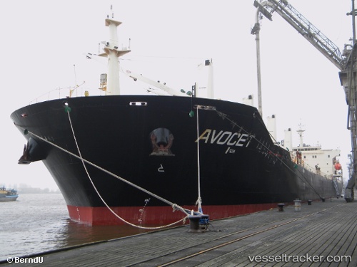
Vessel profile: LILY OCEAN is a Bulk Carrier with dimensions m x m.
This page combines live AIS, route history, probable destination signals, nearby traffic, and port activity for practical vessel monitoring.
The current position of vessel LILY OCEAN is 53.45560 lat / -3.01585 lng. Updated: 2026-05-23 13:55:33 UTCNearest reference points:
- Near BIRKENHEAD
- Near ELLESMERE
- Near LIVERPOOL ANCH
Currently sailing under the flag of Marshall Islands ![]()
Details:
Live Vessel LILY OCEAN Analytics (details, animations, etc.)
Recent AIS points (UTC):
2026-05-23 11:13:31 UTC · 53.45560, -3.01583 · SOG 0 kn · COG 65°2026-05-23 11:37:32 UTC · 53.45564, -3.01583 · SOG 0 kn · COG 65°
2026-05-23 13:34:33 UTC · 53.45560, -3.01581 · SOG 0 kn · COG 66°
2026-05-23 13:55:33 UTC · 53.45560, -3.01585 · SOG 0 kn · COG 66°