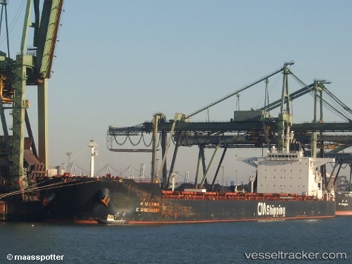
 HL DANGJIN
Current Status
Where is the vessel?
HL DANGJIN is currently in 20 nm SW of Hongdo, based on AIS data received about 14h ago.
Latest AIS update:
Current position: 34.41547° N, 124.90962° E (20 nm SW of Hongdo)
Average speed (last 7 days): Loading…
Average speed (last 30 days): Loading…
Vessel profile: HL DANGJIN is a Bulk Carrier with dimensions m x m.
This page combines live AIS, route history, probable destination signals, nearby traffic, and port activity for practical vessel monitoring.
The current position of vessel HL DANGJIN is 34.41547 lat / 124.90962 lng. Updated: 2026-05-23 19:47:51 UTCNearest reference points:
- 17 nm W of Chuja
- 47 nm W of Hallim
- 77 nm W of Hongdo
Currently sailing under the flag of Marshall Islands ![]()
Details:
Live Vessel HL DANGJIN Analytics (details, animations, etc.)
Recent AIS points (UTC):
2026-05-23 16:09:52 UTC · 35.20867, 124.99730 · SOG 13.6 kn · COG 185°2026-05-23 17:57:51 UTC · 34.80227, 124.95695 · SOG 13.3 kn · COG 186°
2026-05-23 19:28:22 UTC · 34.48327, 124.91668 · SOG 12.4 kn · COG 183°
2026-05-23 19:47:51 UTC · 34.41547, 124.90962 · SOG 12.3 kn · COG 183°