 S.ARAS
Current Status
Where is the vessel?
S.ARAS is currently in Open sea (no nearby ports in database), based on AIS data received about 14h ago.
Latest AIS update:
Current position: 3.88092° N, 27.21751° W (Open sea (no nearby ports in database))
Average speed (last 7 days): Loading…
Average speed (last 30 days): Loading…
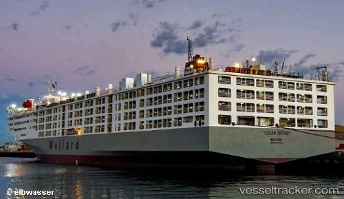
Vessel profile: S.ARAS is a Livestock Carrier with dimensions m x m.
This page combines live AIS, route history, probable destination signals, nearby traffic, and port activity for practical vessel monitoring.
The current position of vessel S.ARAS is 3.88092 lat / -27.21751 lng. Updated: 2026-05-23 21:26:29 UTCNearest reference points:
- Open sea (no nearby ports in database)
Currently sailing under the flag of Marshall Islands ![]()
Details:
Live Vessel S.ARAS Analytics (details, animations, etc.)
Recent AIS points (UTC):
2026-05-23 17:46:18 UTC · 4.91333, -26.71833 · SOG 19 kn · COG -1°2026-05-23 19:39:59 UTC · 4.38212, -26.98504 · SOG 18 kn · COG 190°
2026-05-23 20:15:59 UTC · 4.20878, -27.05566 · SOG 18.4 kn · COG 202°
2026-05-23 21:26:29 UTC · 3.88092, -27.21751 · SOG 18.4 kn · COG 206°