 FRANK LIGHT
Current Status
Where is the vessel?
FRANK LIGHT is currently in 24 nm S of Vasilikos, based on AIS data received about 14h ago.
Latest AIS update:
Current position: 34.33774° N, 33.47139° E (24 nm S of Vasilikos)
Average speed (last 7 days): Loading…
Average speed (last 30 days): Loading…
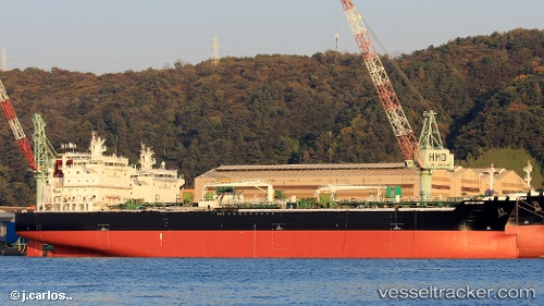
Vessel profile: FRANK LIGHT is a Tanker with dimensions m x m.
This page combines live AIS, route history, probable destination signals, nearby traffic, and port activity for practical vessel monitoring.
The current position of vessel FRANK LIGHT is 34.33774 lat / 33.47139 lng. Updated: 2026-05-24 04:31:05 UTCNearest reference points:
- 17 nm S of Vasilikos
- 31 nm SE of Vasilikos
- Near Limassol
Currently sailing under the flag of Marshall Islands ![]()
Details:
Live Vessel FRANK LIGHT Analytics (details, animations, etc.)
Recent AIS points (UTC):
2026-05-24 01:27:35 UTC · 34.35004, 33.49604 · SOG 1.2 kn · COG 182°2026-05-24 02:20:44 UTC · 34.33910, 33.51121 · SOG 1 kn · COG 171°
2026-05-24 04:18:25 UTC · 34.32955, 33.48627 · SOG 4.1 kn · COG 302°
2026-05-24 04:31:05 UTC · 34.33774, 33.47139 · SOG 4.2 kn · COG 304°