 ALQADISIA
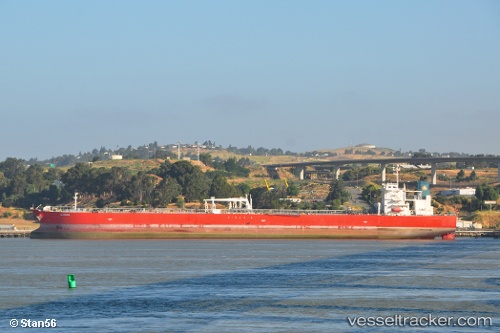
Current Status
Where is the vessel?
ALQADISIA is currently in 48 nm W of Bentota River Apt, based on AIS data received about 15h ago.
Latest AIS update:
Current position: 6.31860° N, 79.19330° E (48 nm W of Bentota River Apt)
Average speed (last 7 days): Loading…
Average speed (last 30 days): Loading…
Vessel profile: ALQADISIA is a Crude Oil Tanker with dimensions m x m.
This page combines live AIS, route history, probable destination signals, nearby traffic, and port activity for practical vessel monitoring.
The current position of vessel ALQADISIA is 6.31860 lat / 79.19330 lng. Updated: 2026-05-23 10:04:24 UTCNearest reference points:
- 67 nm SW of Moratuwa
- 82 nm W of Moratuwa
- 19 nm SW of Bataduwa
Currently sailing under the flag of Marshall Islands ![]()
Details:
Live Vessel ALQADISIA Analytics (details, animations, etc.)
Recent AIS points (UTC):
2026-05-23 07:21:18 UTC · 6.15695, 79.61145 · SOG 9.3 kn · COG -1°2026-05-23 07:36:29 UTC · 6.16953, 79.57362 · SOG 9.6 kn · COG -1°
2026-05-23 09:59:25 UTC · 6.31118, 79.20497 · SOG 9.8 kn · COG 305°
2026-05-23 10:04:24 UTC · 6.31860, 79.19330 · SOG 10 kn · COG 305°