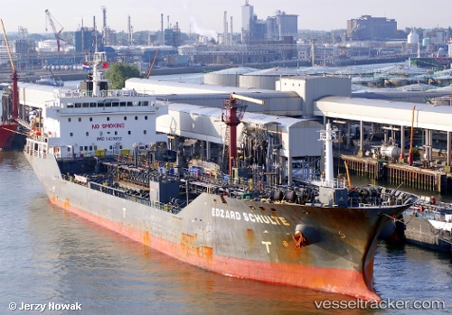
 EDZARD SCHULTE
Current Status
Where is the vessel?
EDZARD SCHULTE is currently in 25 nm S of Holbury, based on AIS data received about 14h ago.
Latest AIS update:
Current position: 50.09101° N, 1.20243° W (25 nm S of Holbury)
Average speed (last 7 days): Loading…
Average speed (last 30 days): Loading…
Vessel profile: EDZARD SCHULTE is a Oil/Chemical Tanker with dimensions m x m.
This page combines live AIS, route history, probable destination signals, nearby traffic, and port activity for practical vessel monitoring.
The current position of vessel EDZARD SCHULTE is 50.09101 lat / -1.20243 lng. Updated: 2026-05-24 00:22:49 UTCNearest reference points:
- 24 nm N of Fermanville
- 20 nm S of Holbury
- 22 nm S of Holbury
Currently sailing under the flag of Marshall Islands ![]()
Details:
Live Vessel EDZARD SCHULTE Analytics (details, animations, etc.)
Recent AIS points (UTC):
2026-05-23 20:01:25 UTC · 49.83797, -2.70863 · SOG 12.4 kn · COG 70°2026-05-23 22:13:46 UTC · 49.95852, -2.00479 · SOG 13.7 kn · COG 74°
2026-05-23 22:21:32 UTC · 49.96582, -1.96122 · SOG 13.9 kn · COG 75°
2026-05-24 00:22:49 UTC · 50.09101, -1.20243 · SOG 15.9 kn · COG 71°