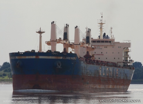
 ASTERAS
Current Status
Where is the vessel?
ASTERAS is currently in Near Pohang, based on AIS data received about 14h ago.
Latest AIS update:
Current position: 36.01506° N, 129.39423° E (Near Pohang)
Average speed (last 7 days): Loading…
Average speed (last 30 days): Loading…
Vessel profile: ASTERAS is a Bulk Carrier with dimensions m x m.
This page combines live AIS, route history, probable destination signals, nearby traffic, and port activity for practical vessel monitoring.
The current position of vessel ASTERAS is 36.01506 lat / 129.39423 lng. Updated: 2026-05-24 01:00:27 UTCNearest reference points:
- Near Guryongpo
- Near Ilsan
- Near Ulsan
Currently sailing under the flag of Marshall Islands ![]()
Details:
Live Vessel ASTERAS Analytics (details, animations, etc.)
Recent AIS points (UTC):
2026-05-23 21:39:28 UTC · 36.01516, 129.39424 · SOG 0 kn · COG 205°2026-05-23 23:00:30 UTC · 36.01512, 129.39424 · SOG 0 kn · COG 205°
2026-05-23 23:57:29 UTC · 36.01509, 129.39418 · SOG 0 kn · COG 205°
2026-05-24 01:00:27 UTC · 36.01506, 129.39423 · SOG 0.2 kn · COG 206°