 QUEEN ANT
Current Status
Where is the vessel?
QUEEN ANT is currently in 59 nm NE of PUERTO BOLIVAR, based on AIS data received about 14h ago.
Latest AIS update:
Current position: 12.78667° N, 71.11666° W (59 nm NE of PUERTO BOLIVAR)
Average speed (last 7 days): Loading…
Average speed (last 30 days): Loading…
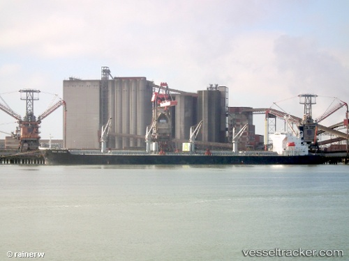
Vessel profile: QUEEN ANT is a Bulk Carrier with dimensions m x m.
This page combines live AIS, route history, probable destination signals, nearby traffic, and port activity for practical vessel monitoring.
The current position of vessel QUEEN ANT is 12.78667 lat / -71.11666 lng. Updated: 2026-05-23 23:23:13 UTCNearest reference points:
- 24 nm NW of Palm Beach
- Near PUERTO BOLIVAR
- Near Las Piedras
Currently sailing under the flag of Marshall Islands ![]()
Details:
Live Vessel QUEEN ANT Analytics (details, animations, etc.)
Recent AIS points (UTC):
2026-05-23 20:22:51 UTC · 12.82370, -70.41358 · SOG 14.3 kn · COG 266°2026-05-23 21:35:26 UTC · 12.81097, -70.70160 · SOG 14 kn · COG 265°
2026-05-23 22:17:16 UTC · 12.80333, -70.86666 · SOG 13 kn · COG -1°
2026-05-23 23:23:13 UTC · 12.78667, -71.11666 · SOG 14 kn · COG -1°