 UILIA
UILIA
Current Status
Where is the vessel?
UILIA is currently in 46 nm W of Attikon, based on AIS data received about 15h ago.
Latest AIS update:
Current position: 47.67552° N, 10.42316° W (46 nm W of Attikon)
Average speed (last 7 days): Loading…
Average speed (last 30 days): Loading…
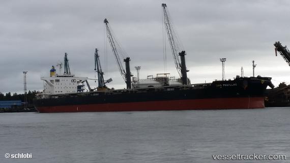
Vessel profile: UILIA is a Cargo with dimensions m x m.
This page combines live AIS, route history, probable destination signals, nearby traffic, and port activity for practical vessel monitoring.
The current position of vessel UILIA is 47.67552 lat / -10.42316 lng. Updated: 2026-05-24 05:37:50 UTCNearest reference points:
- 44 nm SE of Brady
- 24 nm N of Aurach Bei Kitzbuhel
- 57 nm S of Boboras
Currently sailing under the flag of Singapore ![]()
Details:
Live Vessel UILIA Analytics (details, animations, etc.)
Recent AIS points (UTC):
2026-05-24 01:46:01 UTC · 48.10249, -9.35261 · SOG 12.9 kn · COG 236°2026-05-24 03:49:20 UTC · 47.86804, -9.91329 · SOG 13.2 kn · COG 242°
2026-05-24 05:11:01 UTC · 47.72533, -10.29797 · SOG 13.4 kn · COG 242°
2026-05-24 05:37:50 UTC · 47.67552, -10.42316 · SOG 13.3 kn · COG 237°