 CAPE ZHONGTUO
Current Status
Where is the vessel?
CAPE ZHONGTUO is currently in 75 nm SW of Hastings Apt/Freetown, based on AIS data received about 15h ago.
Latest AIS update:
Current position: 7.49553° N, 14.04588° W (75 nm SW of Hastings Apt/Freetown)
Average speed (last 7 days): Loading…
Average speed (last 30 days): Loading…
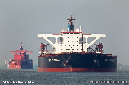
Vessel profile: CAPE ZHONGTUO is a Bulk Carrier with dimensions m x m.
This page combines live AIS, route history, probable destination signals, nearby traffic, and port activity for practical vessel monitoring.
The current position of vessel CAPE ZHONGTUO is 7.49553 lat / -14.04588 lng. Updated: 2026-05-24 07:44:31 UTCNearest reference points:
- Near NASSIT
- Near Kissy
- 28 nm S of Conakry
Currently sailing under the flag of Singapore ![]()
Details:
Live Vessel CAPE ZHONGTUO Analytics (details, animations, etc.)
Recent AIS points (UTC):
2026-05-24 05:10:40 UTC · 7.88170, -14.31242 · SOG 10.7 kn · COG 148°2026-05-24 05:36:09 UTC · 7.81835, -14.26908 · SOG 10.8 kn · COG 148°
2026-05-24 07:35:59 UTC · 7.51735, -14.06087 · SOG 11.1 kn · COG 147°
2026-05-24 07:44:31 UTC · 7.49553, -14.04588 · SOG 11.1 kn · COG 148°