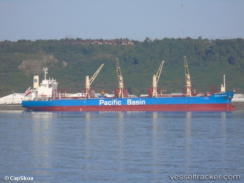
 ISABELA ISLAND
Current Status
Where is the vessel?
ISABELA ISLAND is currently in Near Quintana, based on AIS data received about 14h ago.
Latest AIS update:
Current position: 28.93833° N, 95.34167° W (Near Quintana)
Average speed (last 7 days): Loading…
Average speed (last 30 days): Loading…
Vessel profile: ISABELA ISLAND is a Cargo with dimensions m x m.
This page combines live AIS, route history, probable destination signals, nearby traffic, and port activity for practical vessel monitoring.
The current position of vessel ISABELA ISLAND is 28.93833 lat / -95.34167 lng. Updated: 2026-05-23 19:34:04 UTCNearest reference points:
- Near Quintana
- Near Texas City
- 14 nm E of PALACIOS
Currently sailing under the flag of Singapore ![]()
Details:
Live Vessel ISABELA ISLAND Analytics (details, animations, etc.)
Recent AIS points (UTC):
2026-05-23 16:07:47 UTC · 28.93891, -95.34218 · SOG 0 kn · COG 17°2026-05-23 18:13:37 UTC · 28.93892, -95.34217 · SOG 0 kn · COG 17°
2026-05-23 19:25:43 UTC · 28.93893, -95.34218 · SOG 0 kn · COG 17°
2026-05-23 19:34:04 UTC · 28.93833, -95.34167 · SOG 0 kn · COG -1°