 HIRANYA BHUM
Current Status
Where is the vessel?
HIRANYA BHUM is currently in 201 nm NW of Amini Island, based on AIS data received about 14h ago.
Latest AIS update:
Current position: 13.05333° N, 69.94167° E (201 nm NW of Amini Island)
Average speed (last 7 days): Loading…
Average speed (last 30 days): Loading…
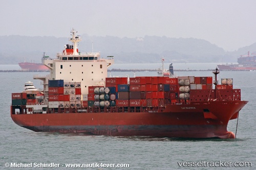
Vessel profile: HIRANYA BHUM is a Container Ship with dimensions m x m.
This page combines live AIS, route history, probable destination signals, nearby traffic, and port activity for practical vessel monitoring.
The current position of vessel HIRANYA BHUM is 13.05333 lat / 69.94167 lng. Updated: 2026-05-23 19:33:44 UTCNearest reference points:
- 202 nm NW of Amini Island
- 198 nm N of Tinaquillo
- 187 nm N of Tinaquillo
Currently sailing under the flag of Thailand ![]()
Details:
Live Vessel HIRANYA BHUM Analytics (details, animations, etc.)
Recent AIS points (UTC):
2026-05-23 16:23:31 UTC · 13.57333, 69.61333 · SOG 11 kn · COG -1°2026-05-23 17:51:01 UTC · 13.33333, 69.76667 · SOG 11 kn · COG -1°
2026-05-23 19:12:30 UTC · 13.11167, 69.90500 · SOG 11 kn · COG -1°
2026-05-23 19:33:44 UTC · 13.05333, 69.94167 · SOG 11 kn · COG -1°