 ILITHA
Current Status
Where is the vessel?
ILITHA is currently in Near Deal Party, based on AIS data received about 14h ago.
Latest AIS update:
Current position: 33.92235° S, 25.65409° E (Near Deal Party)
Average speed (last 7 days): Loading…
Average speed (last 30 days): Loading…
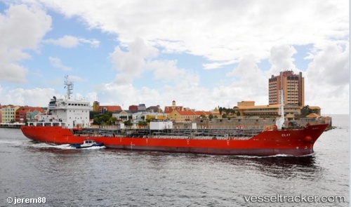
Vessel profile: ILITHA is a Tanker with dimensions m x m.
This page combines live AIS, route history, probable destination signals, nearby traffic, and port activity for practical vessel monitoring.
The current position of vessel ILITHA is -33.92235 lat / 25.65409 lng. Updated: 2026-05-24 02:16:02 UTCNearest reference points:
- Near Deal Party
- 21 nm S of Mount Pleasant
Currently sailing under the flag of South Africa ![]()
Details:
Live Vessel ILITHA Analytics (details, animations, etc.)
Recent AIS points (UTC):
2026-05-23 22:40:19 UTC · -33.92264, 25.65388 · SOG 0.1 kn · COG 320°2026-05-24 00:04:17 UTC · -33.92271, 25.65380 · SOG 0.3 kn · COG 324°
2026-05-24 01:28:18 UTC · -33.92262, 25.65374 · SOG 0.3 kn · COG 331°
2026-05-24 02:16:02 UTC · -33.92235, 25.65409 · SOG 0.1 kn · COG 301°