 Zamani 1
Current Status
Where is the vessel?
Zamani 1 is currently in 52 nm NW of Saldanha Bay, based on AIS data received about 14h ago.
Latest AIS update:
Current position: 32.66889° S, 16.96151° E (52 nm NW of Saldanha Bay)
Average speed (last 7 days): Loading…
Average speed (last 30 days): Loading…
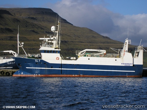
Vessel profile: Zamani 1 is a Fish Carrier with dimensions 40m x 40m.
This page combines live AIS, route history, probable destination signals, nearby traffic, and port activity for practical vessel monitoring.
The current position of vessel Zamani 1 is -32.66889 lat / 16.96151 lng. Updated: 2026-05-23 10:21:59 UTCNearest reference points:
- Near Saint Helena Bay
- Near Laaiplek
- 12 nm W of ROBBEN ISLAND
Currently sailing under the flag of South Africa ![]()
Zamani 1 built in 1990 year
Details:
Live Vessel Zamani 1 Analytics (details, animations, etc.)
Recent AIS points (UTC):
2026-05-23 07:41:18 UTC · -32.82167, 16.88455 · SOG 3.5 kn · COG 0°2026-05-23 08:00:29 UTC · -32.80247, 16.88361 · SOG 3.5 kn · COG 353°
2026-05-23 10:17:47 UTC · -32.67302, 16.96255 · SOG 3.6 kn · COG 342°
2026-05-23 10:21:59 UTC · -32.66889, 16.96151 · SOG 3.6 kn · COG 339°