 SEA ROCK
Current Status
Where is the vessel?
SEA ROCK is currently in 48 nm E of AL DUQM, based on AIS data received about 15h ago.
Latest AIS update:
Current position: 19.64610° N, 58.55900° E (48 nm E of AL DUQM)
Average speed (last 7 days): Loading…
Average speed (last 30 days): Loading…
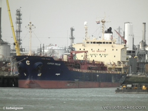
Vessel profile: SEA ROCK is a Oil/Chemical Tanker with dimensions m x m.
This page combines live AIS, route history, probable destination signals, nearby traffic, and port activity for practical vessel monitoring.
The current position of vessel SEA ROCK is 19.64610 lat / 58.55900 lng. Updated: 2026-05-23 11:17:42 UTCNearest reference points:
- Near Duqm
- Near AL DUQM
- 39 nm SE of Pizhou
Currently sailing under the flag of Comoros ![]()
Details:
Live Vessel SEA ROCK Analytics (details, animations, etc.)
Recent AIS points (UTC):
2026-05-23 00:21:11 UTC · 20.58147, 59.29597 · SOG 7.3 kn · COG -1°2026-05-23 09:17:05 UTC · 19.84285, 58.74052 · SOG 7.6 kn · COG -1°
2026-05-23 10:32:35 UTC · 19.71891, 58.62730 · SOG 7.8 kn · COG -1°
2026-05-23 11:17:42 UTC · 19.64610, 58.55900 · SOG 7.7 kn · COG -1°