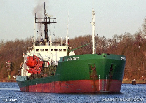
 ZAPADNYY
Current Status
Where is the vessel?
ZAPADNYY is currently in 24 nm S of Seaford, based on AIS data received about 14h ago.
Latest AIS update:
Current position: 50.37069° N, 0.17745° E (24 nm S of Seaford)
Average speed (last 7 days): Loading…
Average speed (last 30 days): Loading…
Vessel profile: ZAPADNYY is a Edible Oil Tanker with dimensions m x m.
This page combines live AIS, route history, probable destination signals, nearby traffic, and port activity for practical vessel monitoring.
The current position of vessel ZAPADNYY is 50.37069 lat / 0.17745 lng. Updated: 2026-05-24 00:16:00 UTCNearest reference points:
- 27 nm S of Seaford
- 23 nm S of Poling
- 23 nm S of Ferring
Currently sailing under the flag of Comoros ![]()
Details:
Live Vessel ZAPADNYY Analytics (details, animations, etc.)
Recent AIS points (UTC):
2026-05-23 20:04:20 UTC · 50.35025, -0.75716 · SOG 7.4 kn · COG 92°2026-05-23 22:13:11 UTC · 50.33467, -0.31085 · SOG 8.6 kn · COG 86°
2026-05-23 22:20:20 UTC · 50.33495, -0.28406 · SOG 8.7 kn · COG 86°
2026-05-24 00:16:00 UTC · 50.37069, 0.17745 · SOG 10.1 kn · COG 78°