 SHARIFA 5
Current Status
Where is the vessel?
SHARIFA 5 is currently in Near Al Adabiyah, based on AIS data received about 15h ago.
Latest AIS update:
Current position: 29.75680° N, 32.44799° E (Near Al Adabiyah)
Average speed (last 7 days): Loading…
Average speed (last 30 days): Loading…
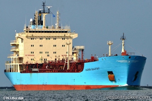
Vessel profile: SHARIFA 5 is a Oil/Chemical Tanker with dimensions m x m.
This page combines live AIS, route history, probable destination signals, nearby traffic, and port activity for practical vessel monitoring.
The current position of vessel SHARIFA 5 is 29.75680 lat / 32.44799 lng. Updated: 2026-05-23 11:37:09 UTCNearest reference points:
- Near Al Adabiyah
- Near Ras Sudr
- Near AL ADABIYAH
Currently sailing under the flag of Egypt ![]()
Details:
Live Vessel SHARIFA 5 Analytics (details, animations, etc.)
Recent AIS points (UTC):
2026-05-23 07:40:54 UTC · 29.93300, 32.55619 · SOG 0 kn · COG 21°2026-05-23 09:28:54 UTC · 29.74195, 32.46768 · SOG 12.1 kn · COG 190°
2026-05-23 10:07:43 UTC · 29.75474, 32.44724 · SOG 0.3 kn · COG -1°
2026-05-23 11:37:09 UTC · 29.75680, 32.44799 · SOG 0 kn · COG 158°